We use Google Analytics to understand website usage and improve your experience. Analytics cookies are optional and will only be used with your permission.
Over the past 25 years, I have experienced firsthand the evolution of how geotechnical instrumentation is designed and deployed to measure and monitor field conditions on projects such as landslides, deep excavations, dams, and urban tunneling. The timing of instrumentation deployment runs the spectrum of pre-construction, construction, and post-construction in order to measure changes to groundwater, ground conditions, or structures.
The fundamentals of traditional instruments such as piezometers, inclinometers, extensometers, and surface surveys have not changed, yet the data they produce remain as valuable as ever to designers, owners, and stakeholders. My hope is owners and stakeholders will continue to embrace new approaches to implementation and analysis of geotechnical instruments and data.
Technology Advances in Instrumentation
Innovation in geotechnical instrumentation over the past two decades has been driven by improvements in communication technology, the miniaturization of sensors, and increasing availability of computing resources. Here are some examples:
Wireless and Automated Data Loggers
The proliferation of wireless and/or automated data loggers enables the collection of continuous time-series data at a far lower cost per data point compared to campaign-style data collection. In most, if not nearly all, present-day use cases, wireless telemetry is now table stakes.
MEMS Sensors
The use of micro-electro-mechanical systems (MEMS) has reduced the size, weight, and power draw of most geotechnical instrument arrays (as a side note, a typical smart phone contains numerous MEMS sensors). Due to improvements in this technology, contemporary inclinometer and extensometer assemblies are more than an order of magnitude more compact than prior generations.
Computing Resources
Computing resources are no longer a constraint for geotechnical instrumentation data storage, display, and analysis. Depending on the manufacturer, some devices rely on cloud-based data reduction and processing, while other devices perform data reduction in the field. Using Geographic Information System (GIS) and Application Programming Interface (API) enables rapid deployment of custom web portals or integration with existing systems.
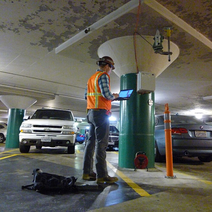
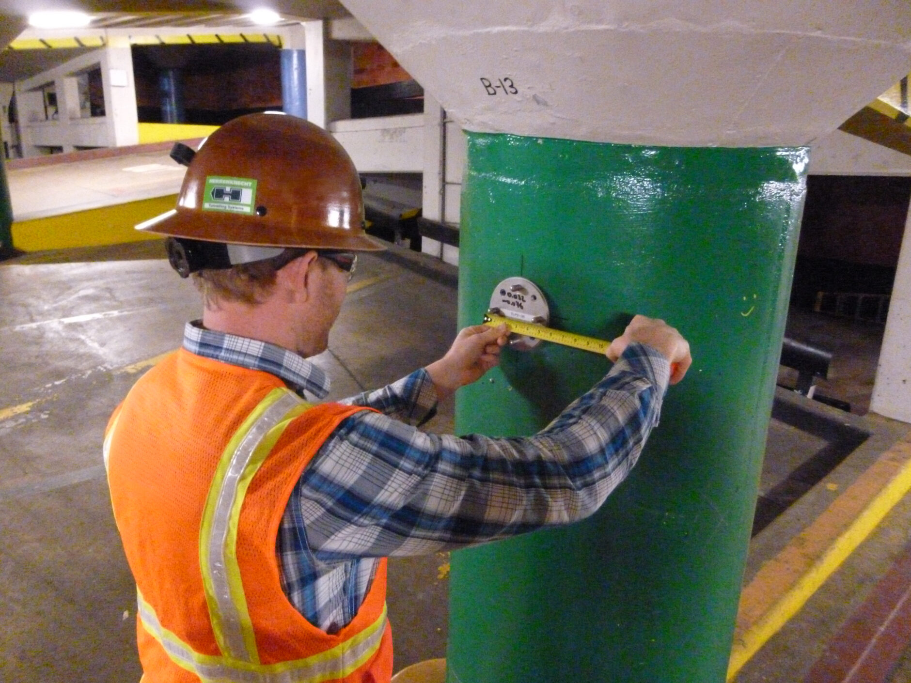
Instrumentation being implemented on San Francisco’s Central Subway project.
Choosing the Right Instruments: Application, Cost, and Timing
The decision tree for selecting the appropriate technology depends on the application and whether immediate access to data and alerts is required by a project.
The following are the key parameters I look for when designing a geotechnical instrumentation package: what, why, and how long do we have to measure, and how those variables feed into a cost–benefit analysis. For example, if it costs $1,000 per trip for personnel to go in the field, manually measure a few instruments each time, and analyze the results, there comes a point when it will be more cost-effective to install data logger(s) and wireless telemetry.
Emerging Techniques: GNSS Sensor Arrays, InSAR, and AI
Given the availability of manufacturers with new devices, an emergent technique in data collection is the use of small arrays of single-point Global Navigation Satellite Systems (GNSS) sensors. Continuously measured GNSS data for a given set of points is collected, uploaded to the cloud, and post-processed. The use case is applicable when there are few points requiring monitoring for short to medium durations, where the use of robotic total stations is not cost effective.
On the opposite end of the spectrum are Interferometric Synthetic Aperture Radar (InSAR) services. The unique aspect of InSAR is its ability to function like a time machine. My first hands-on exposure with InSAR was with the individuals who developed InSAR for use in geologic sciences at UCLA and the Jet Propulsion Laboratory over 25 years ago; now practitioners and owners are embracing commercially available InSAR services. Most recently, Delve Underground utilized InSAR to support baseline monitoring at Lower Alemany in San Francisco and projects with LA Metro. InSAR can monitor large swaths of area, provided that lag time in having data in-hand is not a concern.
Another emerging area is the use of artificial intelligence to enhance how geotechnical instrumentation data is analyzed and applied. Delve Underground is already using machine learning tools to illuminate trends in monitoring data and, where appropriate, develop forecasts of ground movement and groundwater levels that can support more informed construction decision-making.
Long-term Trends & Data Analysis
For many projects, the intent of monitoring is to evaluate long-term trends of ground or structure movement. Current sensor packages are sensitive enough to measure cyclic variations such as regular structure movement as a function of temperature/time of day.
The team at Delve Underground developed and are implementing machine learning tools to daylight trends in geotechnical instrumentation data and, as appropriate, develop ground movement and groundwater level forecasts based upon the trends in order to inform construction. These tools are being applied in Roseton, New York.
Two devices spawning from deep tech that may soon enter the market are sensors that enable location measurement and relative movement from dead-reconning or from wireless positioning that delivers sub-millimeter precision. Neither technology requires line-of-sight or GPS, and both could occupy a unique niche in geotechnical and structural monitoring. I’m excited to see these advances eventually hit the market.
As a good friend once pointed out, those of us who have been in the industry for decades are analog children living in a digital world. We embrace the notion of being able to bring together the best of old and new. I encourage anyone who wants to talk or pilot emergent geotechnical instrumentation technologies to reach out to our team at [email protected].